We got up early on Saturday the 21st, a partly cloudy day with temperatures around 40 degrees: a brisk late spring day in Munising, MI — and the depth of bone-chilling winter in north Florida!
After breakfast at the hotel on the lake, we drove through Munising for a bit, before going to the Pictured Rocks boat tours shop, where we bought our tickets for a 10:00 a.m. cruise out of the bay and into Lake Superior to see the much-celebrated rock cliffs that line parts of the lake for around 20 miles or so.
That left us with about an hour to spare, so we drove to the nearby Pictured Rocks National Lakeshore Visitor’s Center. We took a short hike up to Munising Falls, which was the best waterfall we’ve seen so far. A modest creek — flowing with water tinted by the tannins in the surrounding leaves to the color of weak coffee — spilled down around 75 feet into a small, rocky pool.
After a little while spent communing with nature, we walked along the creek back out of the forest, and then drove back to town, and parked near the boat launch.
I had already realized I’d made a tactical error in terms of clothing. After three decades in Florida, the concept that late May can be really cold in some places did not compute. So I had packed a bunch of shorts and t-shirts, along with one pair of jeans, one fleece and one windbreaker. (Both cousins, needless to say, were much more warmly dressed. The jerks.)
As we stood on the beach waiting to get onto the boat, a steady, cold wind off the lake made the 40-degree temperature feel much colder. Then the captain made an announcement that buoy data was indicating that the lake waves were at 2 to 4 feet; anyone susceptible to sea sickness could return to the gift shop and get a refund for their tickets.
I looked at my cousins, and we all knew that the pact of juvenile males (despite their chronological age) was now in effect: anyone who vomited on the trip would be mercilessly mocked for the rest of our lives.
I was already freezing, but I knew that I couldn’t back out of the trip. So I did the only thing I could have, given my iron will and lack of maturity: I resolved that if I had to vomit during the trip, I would do it on at least one (and preferably both) cousins.
Then the captain went over the refund policy: if the seas were too rough to make it to the first key point on the trip, everyone would get a full refund. If we made it past that point but less than halfway through the trip, everyone would get 50% refunds and/or a rain check to take a future trip.
With that ominous bit of spirit-dampening, we all tramped aboard. The boat had a top deck with rows of bench seats, and a glass-enclosed main deck, which everyone (wisely) chose. We got underway, and for the initial part of the trip, the seas were pretty mild. But that’s because a large island (4 times as large as Manhattan island, the captain said) called Grand Island mostly blocks and shelters the bay from the wind and conditions on the rest of the lake.
As soon as we got out beyond Grand Island, the waves started hitting, and some onboard took advantage of the offered plastic bags. But, thankfully, none of the cousins suffered that indignity. Though the boat got tossed around a little, and a lot of spray was dramatically and regularly launched against the windows we were sitting beside, the trip wasn’t bad.
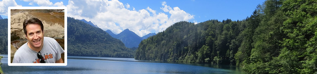
Mid-way through, Bob got up and walked unsteadily to the stairs leading to the uncovered rooftop seating. The boat was rocking enough that his movements were hampered, but he was undeterred, and made it up onto the roof deck, where he quickly got soaked, but took some very good pictures of the cliffs and lake waves.
The rock cliffs really are striking; they’re streaked with colors from various minerals (iron, copper, manganese, calcium, etc.), and they’ve been dramatically eroded into a variety of oddly shaped outcroppings and passageways. The skies were slate gray for most of the trip, so the cliffs weren’t as dramatically lit as they could have been on a sunny day, but I’d still recommend those views.
We headed back to port and landed around noon, and the first thing I did was buy a “Pictured Rocks, Michigan” hoodied sweatshirt, which I put on immediately. We stopped for lunch at a place called, “Eh Burger.” Apparently the “eh” is a linguistic quirk of local dialect that doesn’t suggest what it looked like to me, which is a slight variation on, “Meh, a burger” and seems to suggest a mediocre burger at best.
We left Munising heading east, and soon stopped at Miner’s Falls, which was located a little more than a half mile into a forest of widely spaced trees that let through a lot of sunlight. The temps were still in the low 40s, but felt about 30 degrees warmer than the 40 degrees on the lake that morning. The path was wide, and every so often we could see Lake Superior in the distance to our left.
As the trail gradually descended, views of another small lake in a lower section of the woods, between us and Superior, began to pop in and out of view. Soon we could hear the falls ahead of us. This one was wide and loud, and featured around a 125-foot drop. Two wooden platforms, one near the top of the waterfall and one halfway down, provided great views.
Clearly, the progression of waterfalls during this trip has headed in a good direction: from the three-foot drop of Sheboygan falls, to the 25-foot Wagner Falls, to the 40-foot Munising Falls and finally the 125 foot drop of Miner’s Falls.
Leaving Miner’s Falls, we drove east again, and soon came to Miner’s Castle, which offered more scenic overlooks and trails on a high bluff above Lake Superior. We had seen the Miner’s Castle rock formation from the boat this morning, but the view from overhead was equally impressive. The water of the lake far below was a light turquoise near the shore, and a richer, deeper blue farther out.
From a wooden platform overlooking the water, we took a walking path along a nearby ridgeline. The scene looked something like the views over the Pacific at Pebble Beach and Pinehurst golf courses, if you didn’t know how cool the temperature was. But by this time, it was probably close to 50, and the earlier clouds and overcast were gone, replaced by blue skies that almost seemed to mirror the lake.
From there we got back in the car and headed farther east and north. We made several brief stops along the lake, then drove through around 100 miles of very sparsely populated interior landscape. Forests lined both side of the road, broken up once in a while by some swampy areas, and more rarely by a house or small cluster of houses.
We made it to St. Ignace – just across the water from Mackinac Island — around 6:30. We checked in to a hotel, had some Mexican food nearby, and made a lap around the town before calling it a day.
We had walked around 8 miles today, and were looking forward to more of the same tomorrow, when we’ll take a ferry over to Mackinac Island.
